
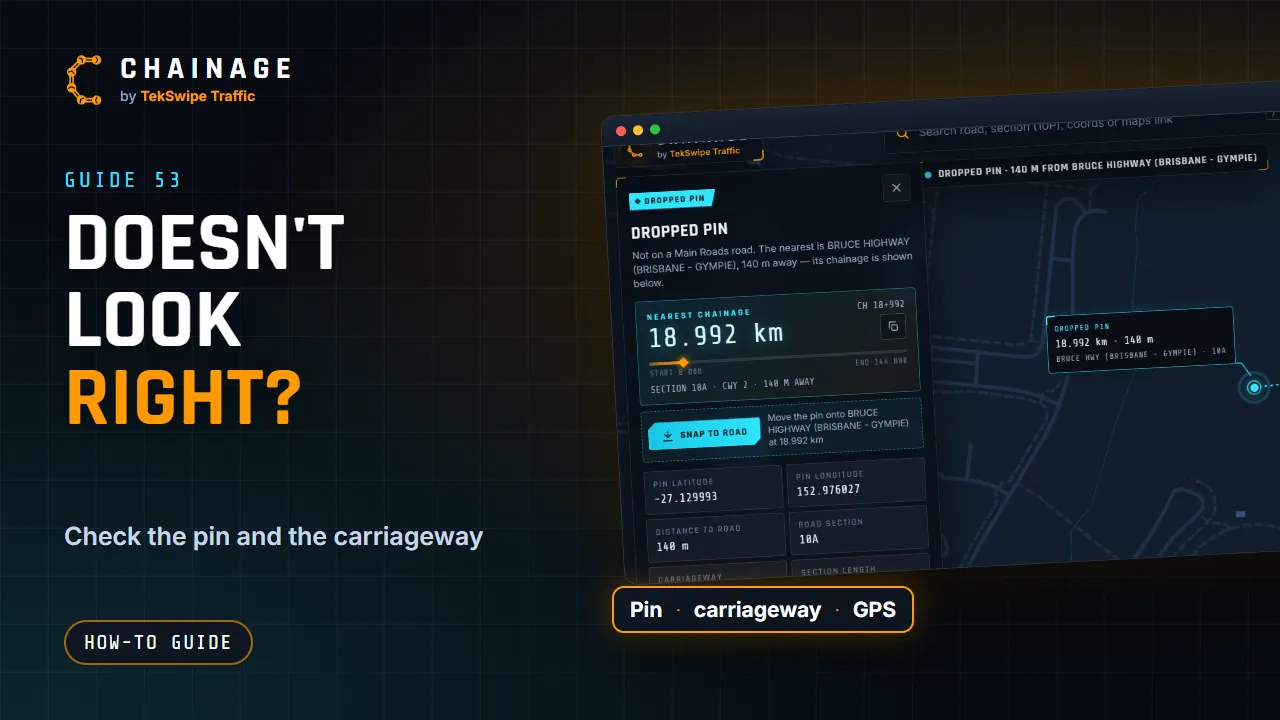
Most unexpected results come down to which road the pin landed on. Work through these checks.
Did it land where you meant?
- Check the badge and title. A Dropped pin shows the Nearest chainage of the closest road, which may not be the one you wanted.
- A large Distance to road means the pin is well away from the road. Use Snap to road or tap again, closer.
- A snapped pin may have jumped to a nearby road. Use dropped pin puts it back where you tapped.
Check the road, section and carriageway
- At interchanges and dual carriageways, zoom right in and tap directly on the carriageway you want. Check CWY on the card.
- Ramps and service roads have their own codes and chainage.
- Chainage starts again at 0 at each new road section, so check the Road section too.
- Violet roads are council roads, with the council's own chainage, not TMR's. For a TMR chainage, tap the orange state-controlled road.
See Road sections and carriageways explained and Council roads.
GPS accuracy
With live GPS, the card shows GPS accuracy, for example ±15 m. A large figure means your position, and the chainage, could be out by about that much. Wait for a better fix under open sky, or tap the map at the spot instead. Phones inside vehicles are often less accurate.
Roadside markers and the digital network
Roadside distance markers and TMR's digital road network aren't always updated at the same time, especially after a road has been realigned. Differences of a few metres are normal. For work where the exact position matters, confirm critical chainages on site or with TMR. See How accurate is Chainage?
Still looks wrong?
Email support@tekswipe.com.au. Include a link to the location (tap Share, then Copy link), the chainage you expected and where it came from, such as a roadside marker, a plan or a TMR record. See Contact support.