
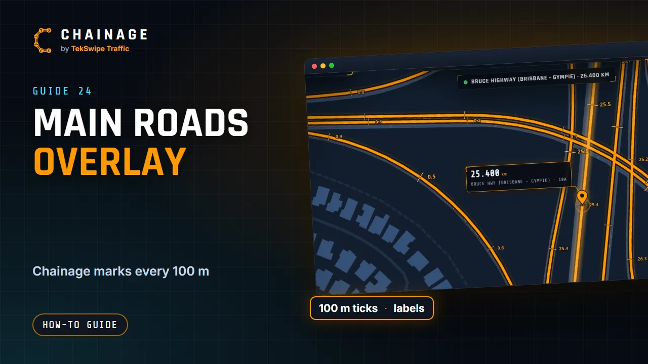
The Main Roads overlay highlights every state-controlled road and marks its chainage, so you can read chainages straight off the map.
What it shows
State-controlled roads glow orange. Turn the overlay on or off with the Main Roads overlay button, second on the toolbar on the right. You'll see “Main Roads highlighted” or “Main Roads overlay off”. Your choice is remembered on this device.
Chainage marks
- From zoom 14 (around suburb level) the full-detail road lines appear.
- From zoom 15 there's a tick every 100 m, with bigger ticks at each half and whole kilometre, labelled in kilometres.
- Zoomed in close (about zoom 16.3), every 100 m tick gets a label too.
On a computer, the current zoom shows as ZM in the readout at the bottom left.
The road under the pin
When you find a chainage, the road it's on gets a bright glow and a streak of light runs along it for about 1.5 km either way. It's a quick way to confirm which road, and which carriageway, the pin is on.
Council roads
Council roads in Sunshine Coast and City of Moreton Bay are drawn in violet once you zoom in to street level. See Council roads. For the other map tools, see Map views.