
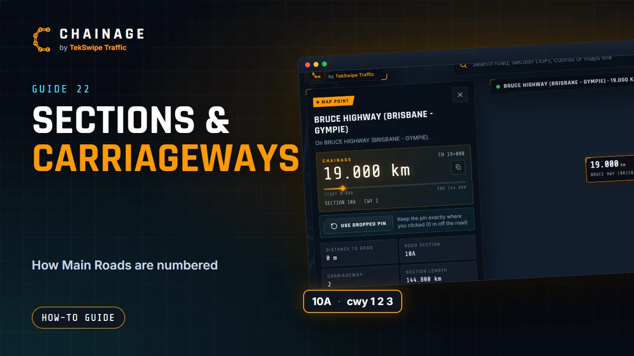
A chainage only makes sense with its road section and carriageway. Here's how they work.
Road sections
TMR divides the state-controlled road network into road sections, each with an ID such as 10A (part of the Bruce Highway) or U14. Chainage is measured from the start of each section, so it starts again at 0 at the next section.
That's why you should always quote the section with the chainage, for example 10A, CH 25+306. The card shows the Road section and Section length, and the progress bar shows where the point sits between the start and end.
Carriageway codes
| Code | Meaning |
|---|---|
| 1 | Undivided road (a single carriageway). |
| 2 | Divided road, the carriageway in the gazettal direction. |
| 3 | Divided road, the carriageway against the gazettal direction. |
| 4 or 5 | Outer carriageways of a divided road. |
| Other codes | Ramps, service roads and other connecting carriageways. |
The gazettal direction is the direction the road section is officially described in: the direction its chainage counts up, from the start of the section towards its end.
Distance to road, and which side
Distance to road is the straight-line distance from your point to the carriageway's line, measured square to the road.
Chainage doesn't show which side of the road (left or right) a point is on. On a divided road, the carriageway code tells you which side. On an undivided road, use a dropped pin on the side you mean and say which side in the title or notes when you save it.
Tips at interchanges and dual carriageways
- Zoom right in and tap directly on the carriageway you want. Check CWY on the card.
- Ramps and service roads have their own codes and their own chainage.
- In search, each result is one carriageway, so pick the row with the right cwy.
- A range follows the carriageway it starts on.
Still not right? See The chainage doesn't look right.