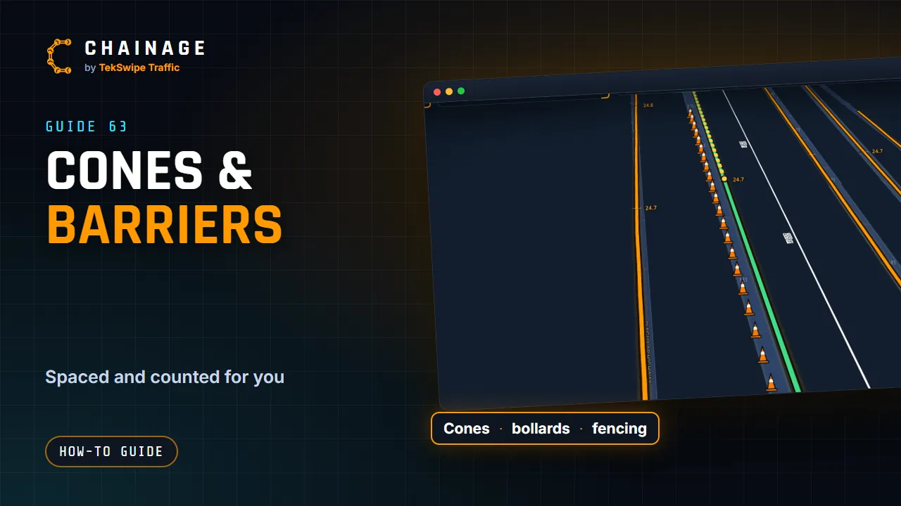
Road cones, in the pen, lays out a run of devices along a line: spaced out and counted for you.
Lay out a run
With a project open, tap the pen under the map buttons and choose Road cones.
Click along where they go, for example down a lane line for a taper.
Right-click to save it and start the next run, or double-click (or Finish) to save and stop.
The panel shows how many there are and how long the run is as you go, for example 14 cones · 125 m.
What they are
Set out chooses what the run is, each with its usual spacing:
Set out
Usual spacing
Road cones
every 10 m
Bollards
every 5 m
Barriers
every 2 m
Temporary fencing
every 3.3 m (one panel)
Delineators
every 20 m
Change Every for a different spacing, pick a colour, and untick Curved for straight runs between points.
After it's saved
The run's card shows how many you'll need and how long it is. Double-click the run to change its points (see Draw on the map). Cones, bollards and delineators stand up in 3D and in Street View; barriers and fence panels run along their line.
Move, turn and size signs▶Pick a sign and drag it into place, turn it to face the traffic, choose which side its picture shows, how it's mounted and how big it's drawn, and see it in 3D and Street View.
Draw measurements, areas, lines and notes▶Use the pen to measure along the road, mark out areas, draw lines and pin notes to a project's map, style them, and edit their points.