
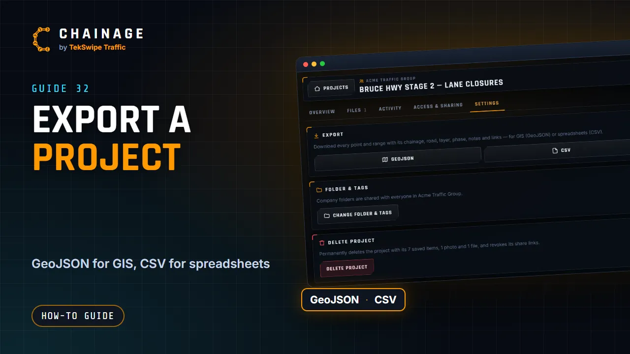
Take your saved points and ranges into a GIS tool or a spreadsheet whenever you like.
Export a project
- Open the project hub and choose the Settings tab.
- Under Export, tap GeoJSON or CSV. The file downloads straight away.
Every point and range is included with its chainage, road, section, carriageway, layer, phase, notes and links. In company projects, exporting needs the Export project data (GeoJSON / CSV) permission.
Which format to use
| Format | Best for |
|---|---|
| GeoJSON | GIS tools such as QGIS or ArcGIS. Points come through as points and ranges as lines along the road, with all their details. |
| CSV | Excel, Google Sheets and other spreadsheets: one row per item, with the title, label, phase, layer, latitude, longitude, road, section, carriageway, chainage (and end chainage for ranges) in km, distance from the road, notes, links, number of photos, who added it and when. |
Photos and files aren't in these exports. To get those too, download everything (below).
No KML export
Chainage doesn't export KML. If you need KML, for example for Google Earth, open the GeoJSON file in a GIS tool such as QGIS and save it as KML. You can upload KML and KMZ files to a project's Files tab, but they're stored as files, not shown on the map.
Download everything
- All your personal projects: account menu → Sign-in & security → Download my data, including photos and files. See Download your data or delete your account.
- A whole company: the company's Settings tab → Export all company data. See Company settings and security rules.