
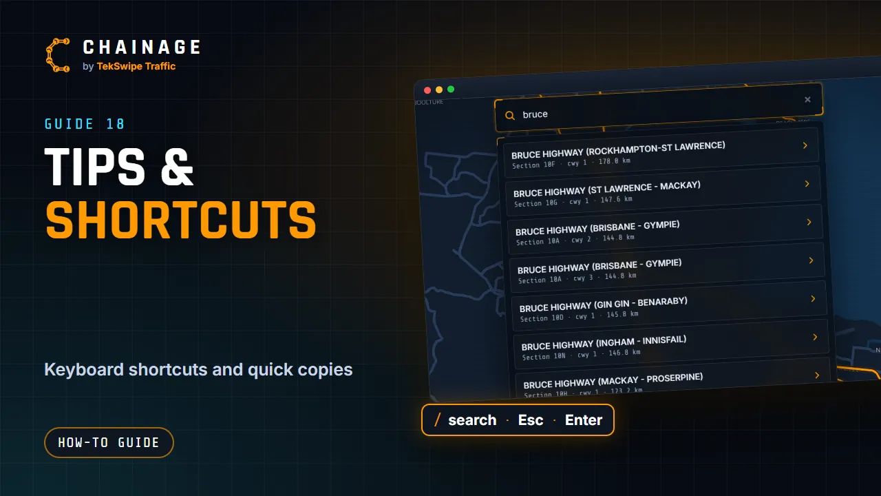
A few shortcuts make Chainage quicker to use, especially on a computer.
Keyboard shortcuts
| Key | What it does |
|---|---|
| / | Opens search. |
| Esc | Closes whatever is on top: a dialog, the photo viewer, map picking, a full-screen page, a menu, search or the card. With a dropped pin's card open (or no card open), it takes the pin away; the pin's card also has Remove pin. |
| Enter | In search, picks the first result. In a chainage box, runs Go or Locate. |
| ← → | Previous and next photo in the photo viewer. |
| Space or Enter | Takes a photo in the chainage camera. |
| Ctrl + click | In Street View, moves the chainage point to where you click (Cmd + click on a Mac). |
| Click, then drag | Moves a point, photo, sign or drawing in a project: click it first, then press on it again and drag (on the map or, for a sign, in Street View). With several picked, dragging one moves them all. Moving a sign shows the distance along the road to the five nearest signs on each side. |
| Ctrl + drag | Turns and tilts the map. |
| Ctrl + C, Ctrl + V | Copies the open point or sign, and pastes a copy where the mouse is (on the map, or on the ground in Street View). Its map label counts on, e.g. MMS 1 to MMS 2. |
| Ctrl + D | Duplicates the open point or sign, just beside it. |
| Shift + click, Shift + drag | Picks several items, or everything in a box (see Pick several items). |
| Ctrl + Z | Undoes your last change in the project. Ctrl + Shift + Z (or Ctrl + Y) redoes it. |
| Right-click | While drawing, saves the drawing and starts the next one; while editing a drawing, saves it and keeps editing. |
Copy fast
- The copy icon next to the chainage copies it, for example 25.306 km.
- Copy coords copies the latitude and longitude to 6 decimal places.
- Copy link in the share dialog copies a link to the point.
What Chainage remembers on this device
- Day or night map.
- Main Roads overlay on or off.
- Whether you type chainages in km or m.
- Your recent searches and pin drops (up to 8 of each). Clear them from the search panel.
- The project you last had open, or that you closed it.
- For each project, the site and phase, current layer and hidden layers.
- Your default style for each kind of drawing (Set as default) and what you tick in the manifest.
- Which other projects are shown on the map.
These are kept in this browser only. Another device or browser starts fresh, and clearing your browser's site data resets them.
Note
The base map isn't remembered. Every visit starts on Map (OpenStreetMap). Choose Google Maps or Satellite again from the Base map button. See Map views.
More tips
- Tap the CHAINAGE logo at the top left for the About box, with links to the User guide, Plans & pricing and the 2-minute tour.
- On a computer, the readout at the bottom left shows the LAT, LON and chainage (CH) under the mouse, ZM (zoom level) and BRG (bearing).
- On a phone, add Chainage to your home screen so it opens like an app.