
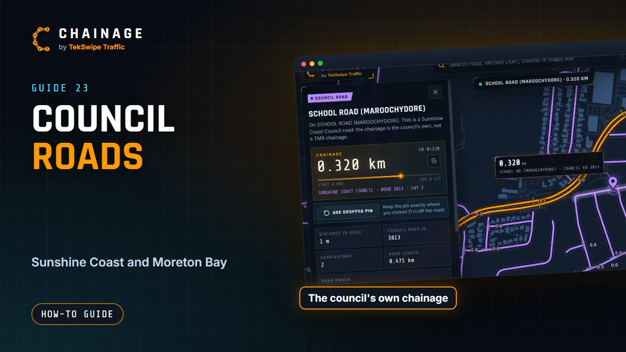
As well as Queensland's state-controlled roads, Chainage shows council roads for two councils, with each council's own chainage.
Which councils are covered
- Sunshine Coast Council
- City of Moreton Bay
The roads and chainages come from each council's open data. Roads in other council areas aren't included: tapping one shows the nearest state-controlled road instead.
Seeing them on the map
Council roads are drawn in violet once you zoom in to street level (zoom 15). You can only tap them once they're showing. They also come up in search, with the council's name and road ID.
What the card shows
- The badge Council road, and a note that the chainage is the council's own, not a TMR chainage.
- The chainage readout, with the council's name and road ID under it.
- Council road ID, Carriageway and Road length.
- Road owner and Chainage data source: the council's open data, its licence and the date of our copy, with a link to the council's data portal.
Traffic (AADT) and heavy-vehicle figures aren't shown for council roads, because that's TMR data for state-controlled roads only. Photos taken on a council road get a violet stamp.
Council chainage isn't TMR chainage
Each council numbers its own roads and starts each one at zero. Don't mix council chainages with TMR chainages: quote the council and road ID with the chainage. Direct lookup links by section and chainage work for TMR road sections only.
See also Read the chainage card and Where the data comes from.