
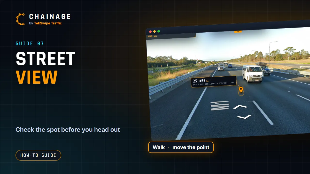
Street View lets you check a spot before you go to site: see the signs, the shoulder and the access, with the chainage point drawn right in the scene.
Open Street View
- Find a chainage, or open a saved item.
- Tap Street View on the card.
- Street View opens full screen at the nearest imagery (within 150 m), facing the point.
The chainage pin is drawn in the scene. Tap it to open its card over Street View.
What's on screen
- Map: back to the map.
- The road name and chainage.
- A compass strip along the top, with a cyan marker showing which way the point is.
- Point N m away: how far the point is from where you're standing (on a computer).
- Google Maps: opens the same view in Google Maps.
- Save point: saves the point to a project (when you're signed in and on a road). See Save a point to a project.
- Back to the pin: appears once you've walked away, and takes you back to the view facing the point.
- With a project open, its signs stand in the scene in 3D, and its photos show as a camera floating 1.2 m above the spot where each was taken, with a dotted line down to it (those within 50 m of where you're standing, including other projects shown on the map). Click one to open its card and photos.
Walk along the road
Click or tap the road to move to that spot, up to 150 m at a time. On a computer, an orange ring on the road shows where a click will take you.
Move the chainage point
- On a phone, press and hold on the road where the point should be.
- On a computer, hold Ctrl and click (Cmd + click on a Mac).
You'll see “Chainage point moved to” the new chainage, and the map and card update. Then tap Save point if you want to keep it.
When there's no imagery
If Google has no Street View within 150 m, you'll see “No Street View imagery within 150 m of this point — try opening it in Google Maps (top right).” Street View imagery comes from Google and may not show recent changes on the road. See also Map views.