
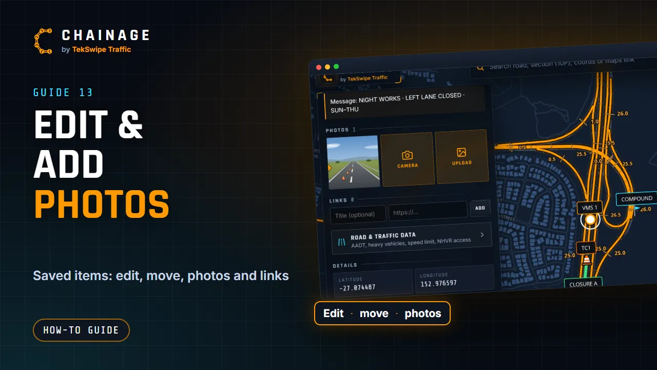
Every saved point and range has its own card, with everything about it in one place.
Open an item
Tap the item on the map, or find it under More, Items. The card shows:
- its layer and phase (or Base layer), and Range for a range;
- its marker, title and map label, the road, and when and by whom it was saved;
- the Chainage (or Nearest chainage for a pin off the road, with how far it is from the road), the CH marker and a copy icon;
- the notes, Photos and Links;
- Road & traffic data: AADT, heavy vehicles, speed limit and NHVR access, the same as tapping the map there;
- Details: latitude, longitude and when it was last updated;
- buttons: Street View, Google Maps, Edit, Move / chainage (Chainages for a range), Copy coords and Delete.
Edit and move
Edit changes the title, map label, marker or line style, colour and notes. Phase & layer moves the item to another layer, in any phase. Tap Save changes.
Move / chainage gives you these choices:
- Pick a new spot on the map: tap where it should go. It snaps only if you tap right on a Main Road. Cancel or Esc stops.
- Set the chainage on its road section: type the chainage in km and tap Move.
- Snap onto the road: for a pin off the road.
- Move to the dropped pin: when you've dropped another pin on the map.
For a range, Chainages changes the start and end. See Mark a stretch of road with a range.
On a computer, you can also drag it: click the item to pick it (its card opens), then press on it again and drag it to its new spot. It's saved where you let go, exactly there. Holding Ctrl while you drag turns the map instead. For signs, see Move, turn and size signs.
Photos
- Camera opens the chainage camera, which stamps the point's chainage and the time on the photo.
- Upload lets you pick one or more photos from your device.
Photos are resized to at most 2048 pixels across before upload, and their location data (EXIF and GPS) is removed. Each photo can be up to 15 MB, a point can have up to 40 photos, and JPEG, PNG and WebP are supported. Photos count towards your storage.
Tap a photo to open the viewer. It shows which photo you're on (for example 2 / 5), with arrows or a swipe to move between them, Download and Delete.
Links
Add a link to a drawing, a permit or anything online: type a title (optional) and a web address starting with https://, then tap Add. The bin icon removes a link.
Delete an item
Delete asks you to confirm, then removes the item with its photos, notes and links. There's no trash: straight away, Ctrl + Z on a computer brings the item back, but its photos are gone for good (see Pick several items, copy and undo).
In company projects, your role decides what you can do: edit and move your own items or anyone's, delete your own or anyone's, and add photos, notes and links. See Roles and permissions. People with view-only access see the card without these buttons.