
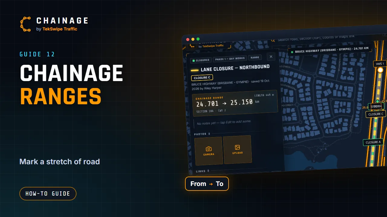
A range is a stretch of road between two chainages, such as a lane closure or a work zone. It's drawn along the road itself and shows its length.
Make a range
- Find the chainage at one end of the stretch.
- Tap Make a chainage range from that chainage on the card. A New range card opens with From (km) filled in.
- Tap the other end on the same road, or type it in To (km). If you tap a different road, Chainage asks you to pick a spot on the right one.
- Or type a length in Or a length from the start (metres along the ground) and choose Up the chainage or Down it: the end is worked out for you.
- The line is drawn along the carriageway and the card shows its LENGTH. To choose the end again, tap Pick the end on the map.
You can type chainages in km (3.2) or in metres with an “m” (3200m).
Style and save it
- Choose a Colour, a Line width (2 to 16) and a Line style: solid, dash or dot.
- Tap Save range (Sign in to save range if you're signed out). Cancel throws it away.
- In the save dialog, choose the project and layer, add a title, map label and notes, and tap Save range.
The save dialog works like the one for points. See Save a point to a project.
When the carriageway changes
The line follows the carriageway you started on. If that carriageway doesn't exist for part of the range, for example where a highway is only divided in places, the line follows the other carriageway there and the card tells you where, “usually because the road isn't divided there”.
Change it later
Open the range's card and tap Chainages to change From (km) and To (km), then Update range. Edit changes its title, colour, width, style and layer. See Edit, move and add photos to saved items.