
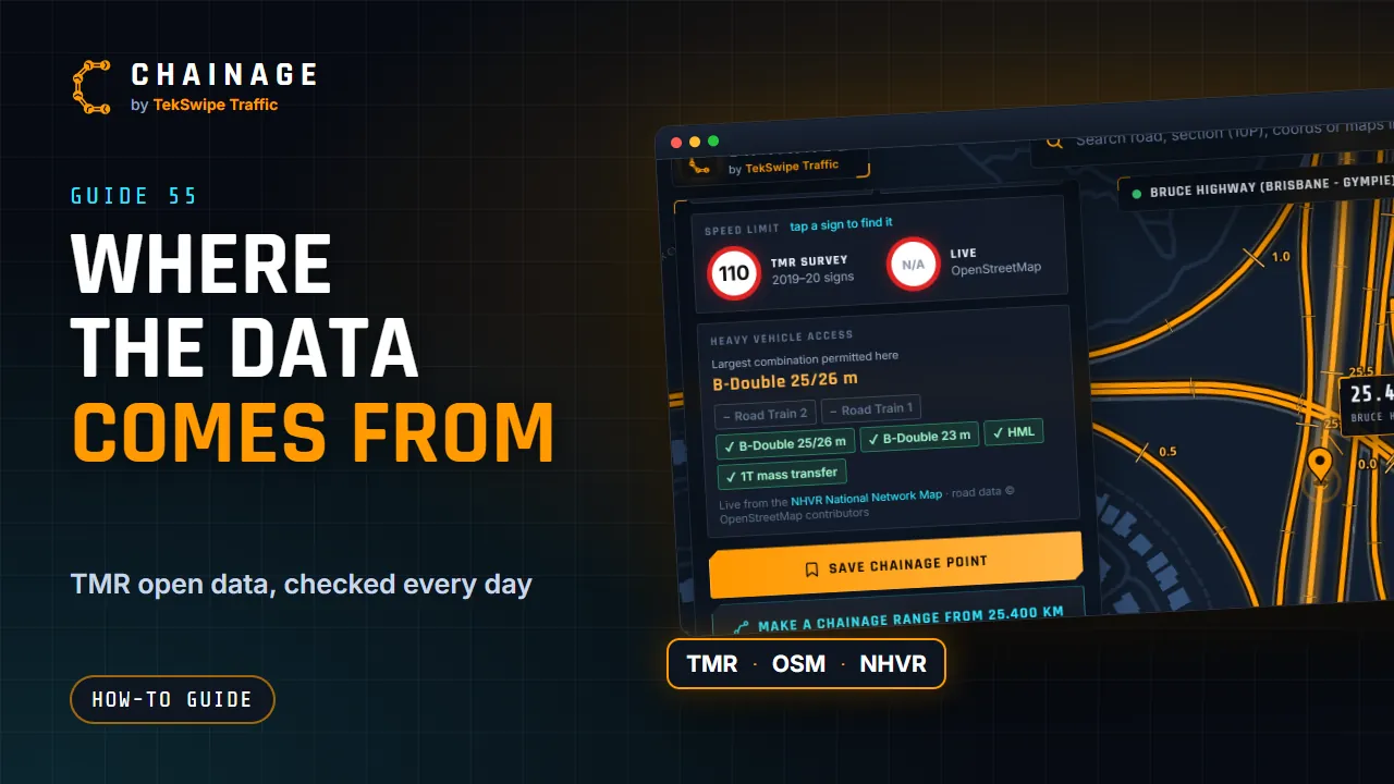
Chainage brings together open data and a few map services. Here's what comes from where.
TMR open data
The core data is open data published by the Queensland Department of Transport and Main Roads (TMR):
- the state-controlled road network, with its road sections and carriageways;
- chainage reference points along each carriageway;
- traffic volumes (AADT) and heavy-vehicle percentages from TMR's traffic census;
- the speed sign survey (2019–20 signs).
Chainage checks for new releases every day and updates automatically.
Other sources
| Source | Used for |
|---|---|
| OpenStreetMap | The live speed limit, loaded when you tap More information. |
| NHVR National Network Map | Heavy-vehicle access, loaded when you tap More information. |
| Sunshine Coast Council and City of Moreton Bay | Council roads and their chainages, from each council's open data. The card shows the licence and date. See Council roads. |
| OpenFreeMap and OpenStreetMap | The default map (Map). |
| The Google Maps and Satellite base maps, and Street View imagery. |
When you tap More information, the selected location is sent to OpenStreetMap and the NHVR to look these up. Google's maps and Street View load straight from Google. See the Privacy Policy.
Not affiliated with TMR
Chainage is an independent tool made by TekSwipe Traffic. It uses TMR open data but isn't affiliated with or endorsed by TMR. If something in the data looks wrong, tell us at support@tekswipe.com.au. For official records, check with TMR. See also How accurate is Chainage?