
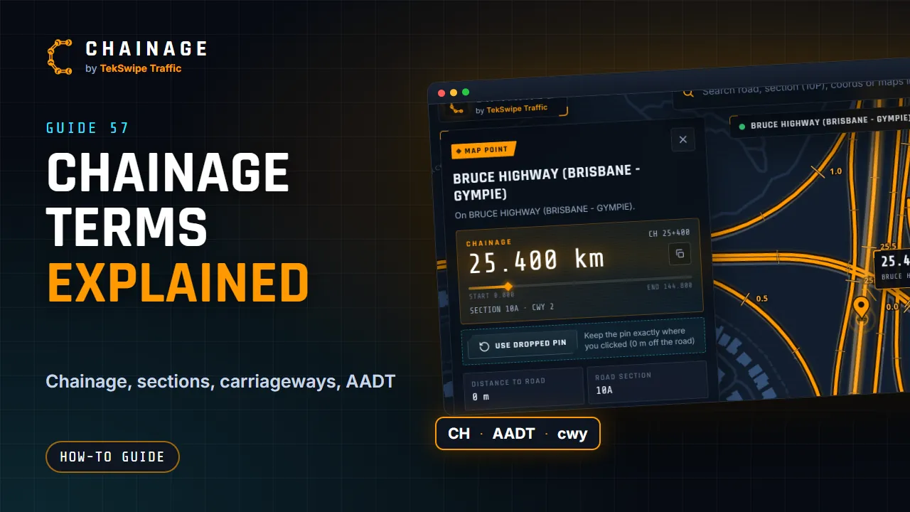
The terms you'll see in Chainage, in plain English.
Road terms
| Chainage | The distance along a road from the start of its road section, in kilometres, for example 25.306 km. |
|---|---|
| CH km+mmm | The same chainage written as kilometres plus metres: CH 25+306 is 25 km and 306 m. |
| TMR | The Queensland Department of Transport and Main Roads, which manages the state-controlled road network and publishes the road data Chainage uses. |
| State-controlled road | A road managed by TMR, often called a Main Road: highways, motorways and main arterial roads. Council roads aren't state-controlled. |
| Road section | TMR's ID for a length of road, such as 10A. Chainage starts again at 0 at the beginning of each section. |
| Carriageway | One side, or part, of a road. Code 1 is an undivided road; 2 and 3 are the two sides of a divided road; 4 and 5 are outer carriageways; other codes are ramps, service roads and connecting carriageways. |
| Gazettal direction | The direction a road section is officially described in: the way its chainage counts up. On a divided road, carriageway 2 runs in the gazettal direction and carriageway 3 against it. |
| AADT | Annual average daily traffic: the average number of vehicles a day over a year. |
| Heavy vehicles (HV %) | The share of traffic that is heavy vehicles, from TMR's traffic census. |
| NHVR | The National Heavy Vehicle Regulator, whose National Network Map shows which roads heavy-vehicle combinations can use. |
| TGS / TMP | Traffic Guidance Scheme and Traffic Management Plan: the documents that set out how traffic is managed around work on the road. |
More in Road sections and carriageways explained and Traffic volume (AADT) and heavy vehicles.
Chainage app terms
| Dropped pin | A point left exactly where you put it, off the road, with the nearest road's chainage alongside. |
|---|---|
| Chainage range | A stretch of road between two chainages, drawn along the road, such as a lane closure or work zone. |
| Site | One place a project works at, such as a ramp or an intersection. Each site has its own phases. |
| Phase | A stage of the work at a site, such as Stage 1 or Night works. Each phase has its own layers. |
| Layer | A group of saved items within a phase, such as Signs or Detours. New items go into the current layer. |
| Base layer | A layer shown in every phase, for things that don't change, such as existing conditions or site boundaries. |
| Share link | A link that opens a read-only view of a project for anyone who has it, with an optional password and expiry date. |
| Seat | A place in a company on the Business plan. Every member and pending invitation uses one. |
More in How projects work and Share a project with a link.