
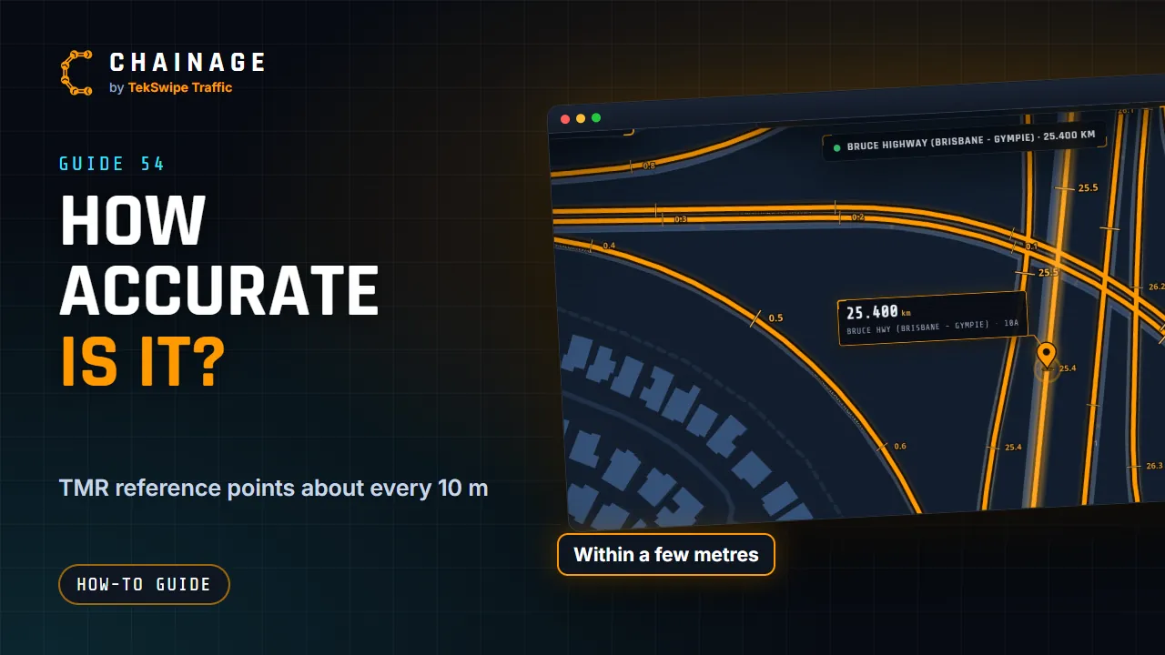
Chainage is accurate to within a few metres of TMR's own data. How close your result is also depends on where you tap and on your GPS.
How it works it out
TMR publishes chainage reference points about every 10 m along each carriageway. Chainage finds the nearest carriageway to your point, then works out the exact position between the two reference points either side of it. That's how it gets a chainage to the metre, within a few metres of TMR's data.
What affects your result
- GPS accuracy. The card shows it (for example ±5 m). It gets worse under trees, in cuttings and between tall buildings.
- Where you tap. Zoom in for a precise tap.
- Which carriageway it snaps to. Check CWY on the card.
- Roadside markers. These aren't always in step with the digital network, especially after a road is realigned.
Chainage checks for new TMR data every day, so changes to the network come through automatically. See Where the data comes from.
How precisely it's shown
Chainages are shown in kilometres to 3 decimal places (the nearest metre), with the CH km+m marker. Coordinates are shown to 6 decimal places. Labels on the map's chainage marks are rounded to 0.1 km.
When to double-check
Chainages are approximate. Where the exact position matters, such as setting out, survey, or legal and contract records, confirm critical chainages against TMR records or survey marks on site.
If a result looks wrong, see The chainage doesn't look right.