
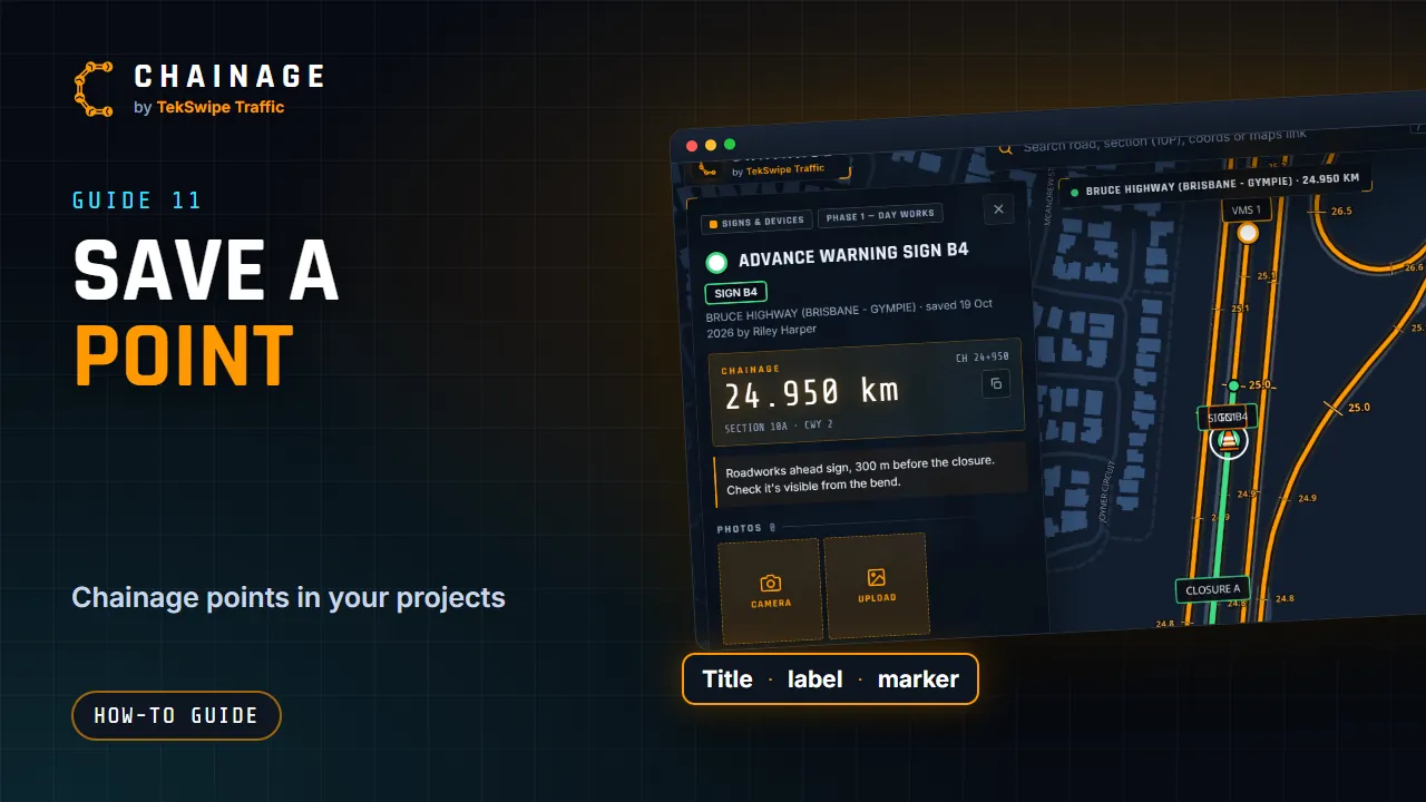
Saving a point keeps its chainage, road and position in a project, along with your notes and photos.
Save a point
- Find the chainage: by GPS, a tap on the map or search.
- Tap Save chainage point on the card, or Save dropped pin for a pin off the road. If you're signed out, the button says Sign in to save this point.
- Fill in the save dialog (below).
- Tap Save point.
The save dialog
| Field | What to do |
|---|---|
| Project | Pick a project, or + New project… and type a name. |
| Layer | Pick a layer (grouped by phase), or + New layer in the current phase, or + New base layer…, and type a name. |
| Title | Up to 120 characters, for example “Sign location” or “TC setup”. Road points start with the chainage as the title. |
| Map label | Optional, up to 40 characters, shown on the map at all times, for example SIGN A1. |
| Marker | 16 shapes: circle, square, diamond, triangle, star, hexagon, pin, flag, warning, cone, cross, ring, camera, sign, info and bolt. |
| Colour | Layer (use the layer's colour), one of 10 colours, or a custom colour. |
| Notes | Up to 5,000 characters. |
After saving
The project opens on the map (if it wasn't already), the layer is switched on so you can see the point, and its card opens. A road point records its chainage, road, section and carriageway. A dropped pin keeps its exact position plus the nearest chainage.
From the card you can add photos and links, edit or move it. See Edit, move and add photos to saved items.
Other ways to save
- In Street View, tap Save point.
- From the chainage camera, tap Save to project to save a point with the photo attached.
- To save a stretch of road, see Mark a stretch of road with a range.
In company projects your role decides whether you can add items. The Project list only offers projects you can add to.