
Check the spot in Street View
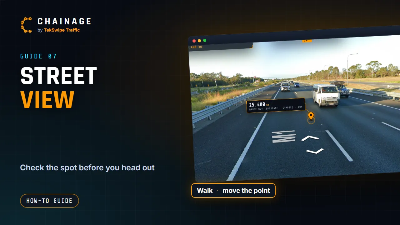
Open Street View at a chainage point, walk along the road, and move the point to exactly where you're looking.
Transcript
Street View lets you check a spot before you head out. On the result card, tap Street View. It opens full screen, with the chainage point drawn right in the scene, and a compass showing which way you're facing. Click the road to walk along it. On a computer, an orange ring shows where you'll go. If you wander off, Back to the pin takes you back to the view facing it.
To move the chainage point to exactly where you're looking, press and hold on the road on a phone, or control-click on a computer. The map and the card update too. When you're signed in, Save point saves it straight to your project. Tap Map to go back.
The full guide: Check the spot in Street View
More video guides
-
 ▶ 0:59
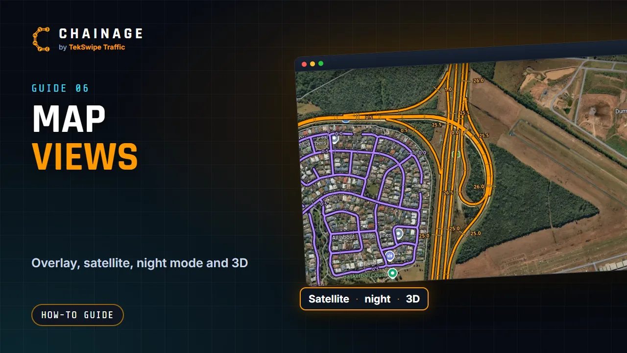
Map views: overlay, satellite, night mode and 3D
-
 ▶ 0:39
The Main Roads overlay and chainage marks
-
 ▶ 2:19
Chainage: find any Queensland Main Roads chainage in seconds
-
 ▶ 1:23
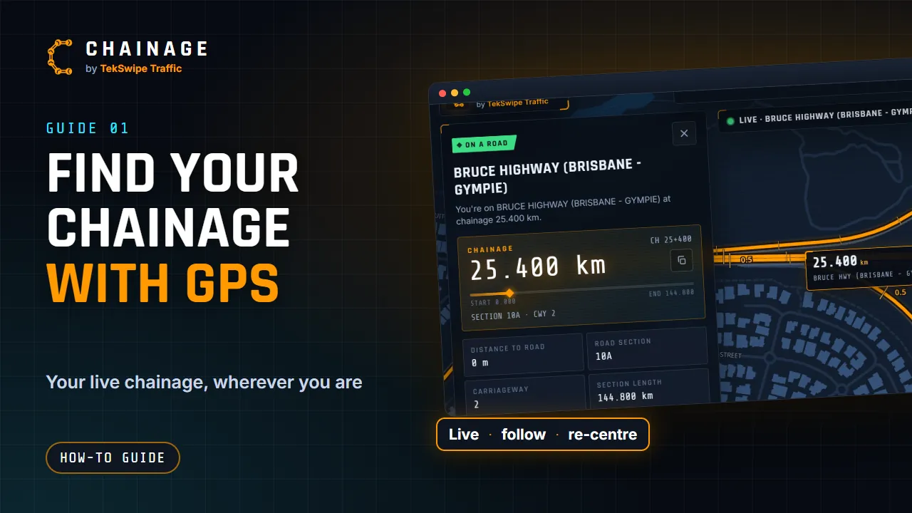
Find your chainage with GPS
-
 ▶ 1:04
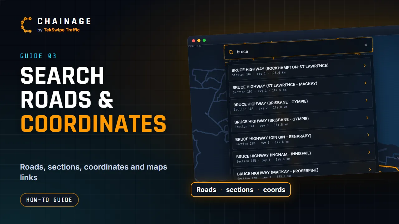
Search by road, section, coordinates or a Google Maps link
-
 ▶ 1:16
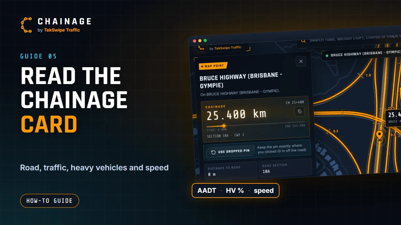
Read the chainage card