Read the chainage card
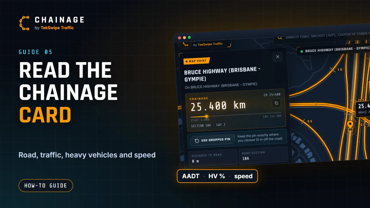
A field-by-field guide to the chainage card: the badge, the chainage readout and progress bar, the facts, the speed box and the action buttons.
Transcript
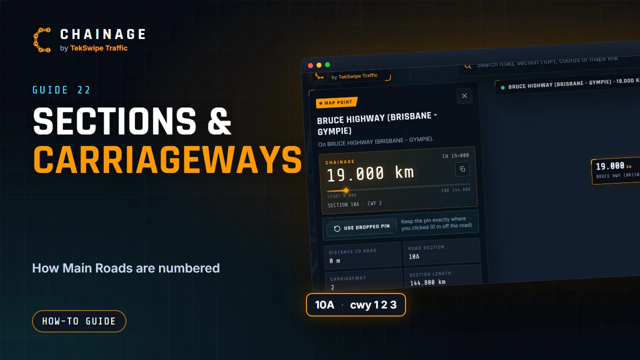
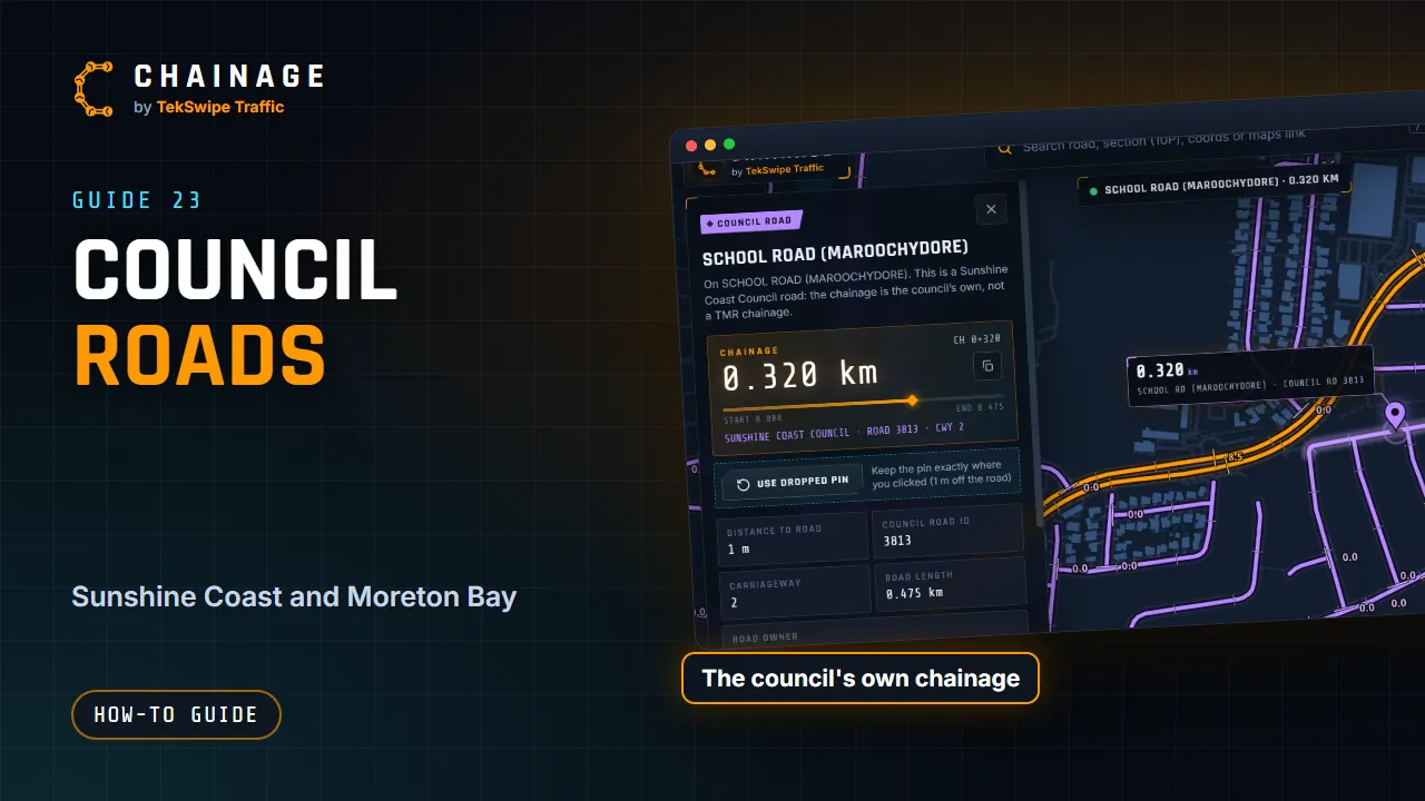
Here's everything the chainage card tells you. At the top, the road name, and a badge showing how you found the point. Then the chainage, in kilometres to three decimal places, and as a C H marker. The copy button copies it. The bar shows where you are between the start and the end of the road section. Below that, the road section, the carriageway, the distance to the road, and the section's length.
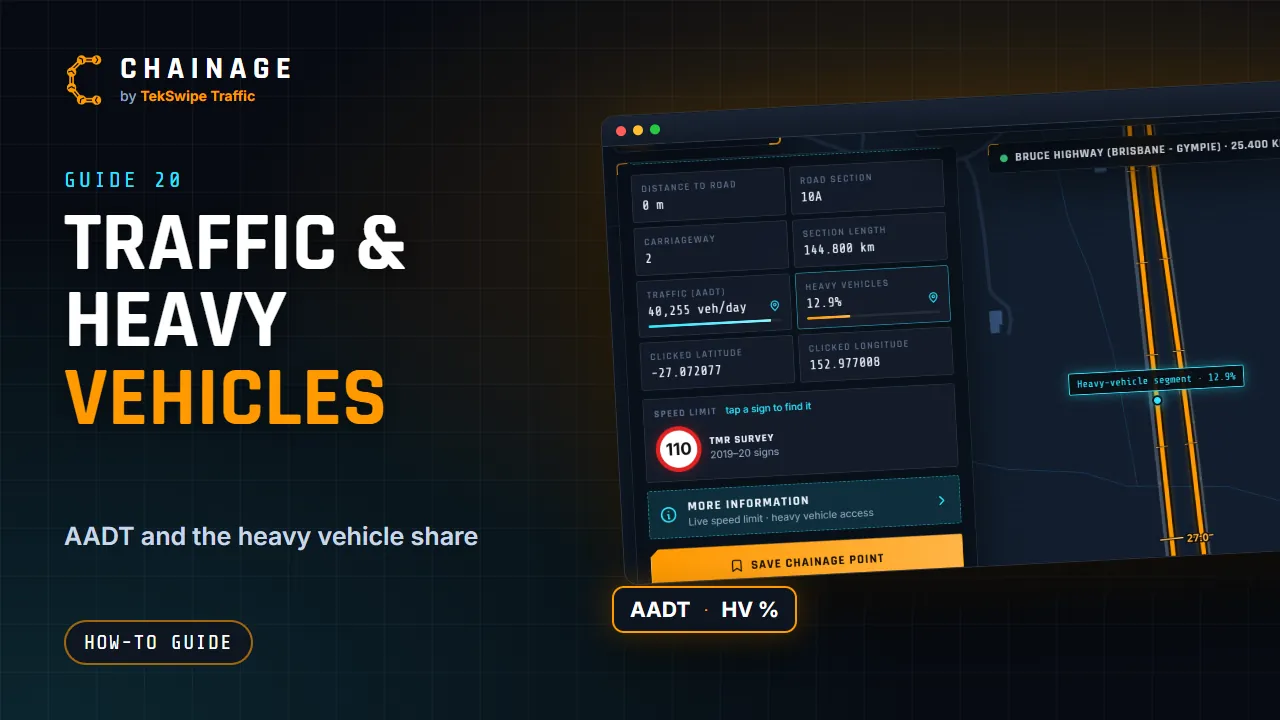
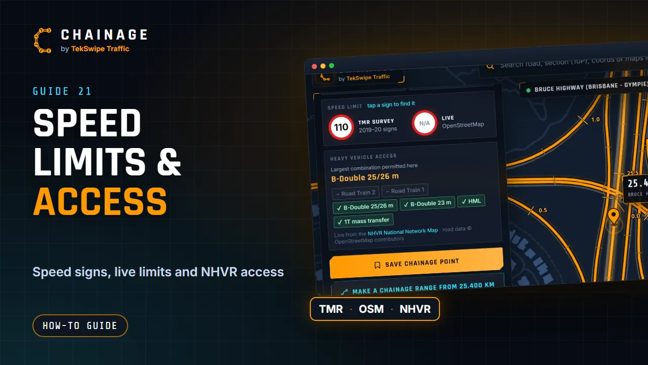
Traffic is the annual average daily traffic, and heavy vehicles is their share of it, from TMR's traffic census. Tap a value with a pin icon to see where that figure comes from. The speed limit comes from TMR's survey of speed signs. Tap More information for the live speed limit from OpenStreetMap, and heavy vehicle access from the NHVR.
At the bottom are the actions: save the point, make a range, Street View, Google Maps, copy and share.
The full guide: Read the chainage card