Map views: overlay, satellite, night mode and 3D
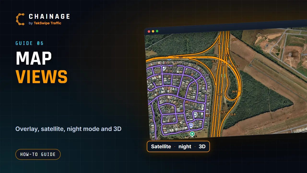
Switch between the map, Google Maps and satellite, use night mode and 3D, go full screen and reset north with the map tools.
Transcript
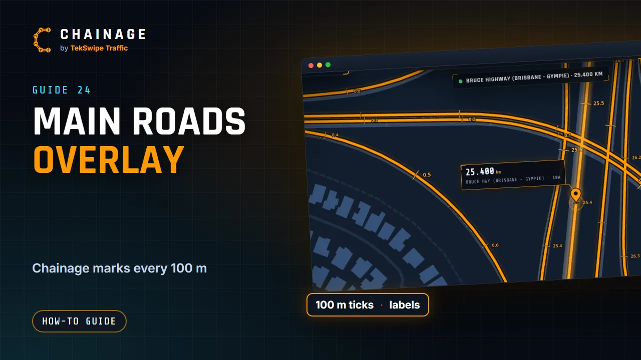
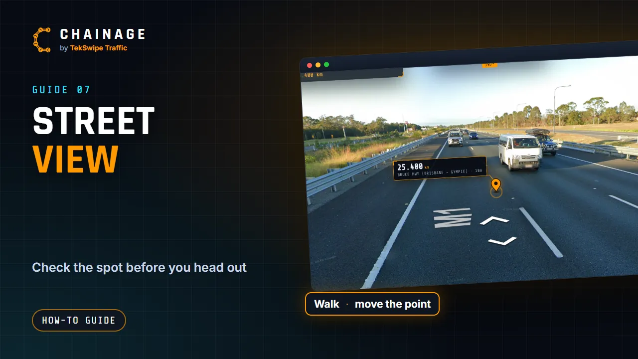
The buttons down the right of the map change how it looks. The road button turns the Main Roads overlay on and off. State-controlled roads glow orange. Zoom in, and chainage marks appear every hundred metres, with labels along the road. The map button picks the base map: the standard map, Google Maps, or satellite imagery. Satellite is great for checking what's actually on the ground.
Each visit starts on the standard map. The sun and moon button switches between a day map and a night map. Tap 3D to tilt the map, and buildings stand up as you zoom in. The compass button puts north back at the top, and flattens the map again.
The full guide: Map views: overlay, satellite, night mode and 3D